Canada
Tofino & Pacific Rim, British Columbia
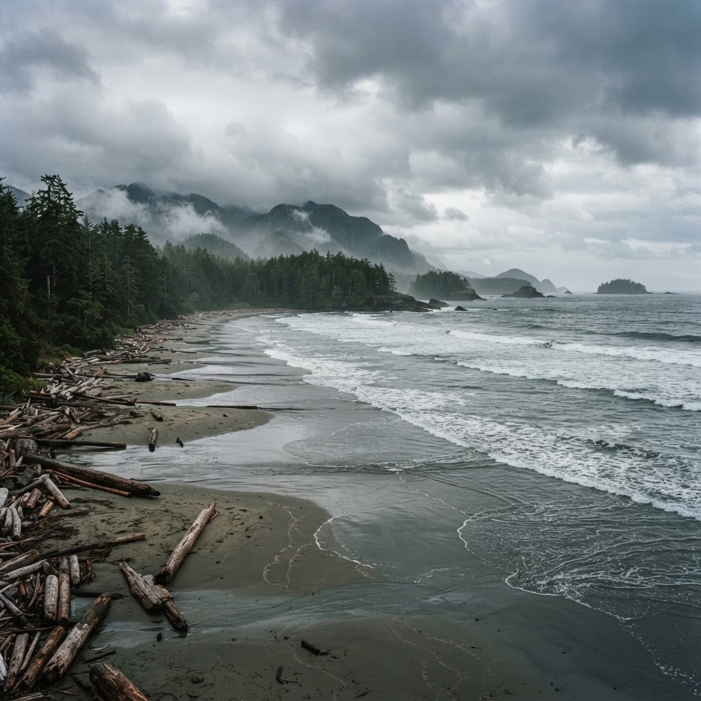
Old-growth rainforest meets ferocious Pacific surf at the rugged end of Highway 4.
Plan & book
Sort your Tofino & Pacific Rim, British Columbia trip in one place.
We point you to the booking tools we'd actually use — live prices, no markup. Or let us build the day-by-day plan around you first, then book.
Set on Clayoquot Sound on the remote west coast of Vancouver Island, Tofino pairs untamed temperate rainforest and raw open ocean with a refined, surf-town culture. Reaching it requires intention: a ferry crossing from mainland British Columbia followed by a winding three-hour alpine drive across Highway 4. Once you arrive, the pace slows to the cadence of the tides, whether you are donning a 5/4mm wetsuit at Cox Bay, soaking in a floating wood-fired sauna, or watching winter gale-force swells crash against the granite headlands.
4 to 5 days
Build your own trip with these prebuilt itineraries
Each one is a tested, day-by-day plan for Tofino & Pacific Rim, British Columbia — start here, then make it yours.
5 Days in Tofino & Pacific Rim
Full coastal immersion with Hot Springs Cove boat expedition and Ucluelet Wild Pacific Trail
3 Days in Tofino & Pacific Rim
Whale watching or bear tour, rainforest hikes, and sunset beach fires
2 Days in Tofino & Pacific Rim
Cox Bay surfing, Pacific Rim National Park boardwalks, and coastal seafood dining
Tofino delivers one of the rare places on earth where ancient giant western red cedars grow straight out to wild, wave-battered sand beaches. It is simultaneously Canada's surf capital, an active UNESCO Biosphere Reserve, and a standout culinary hub where foraging, cold-water seafood, and remote luxury thrive side by side.
Where to stay
Getting there
Getting around
Food & drink
What it costs
Skip it if
Skip Tofino if you are chasing guaranteed hot summer sunshine, warm ocean swimming, or lively late-night clubbing. Also reconsider if you hate driving winding alpine roads or have zero tolerance for persistent coastal fog, drizzle, and damp clothing.
Destination intelligence
Updated 9/12/2026The structured record we plan every Tofino & Pacific Rim, British Columbia itinerary from.
Walkability
Low overall. Tofino Town is compact and walkable, but beaches, trailheads, and Pacific Rim National Park Reserve require a car or bike.
Transit quality
Limited. Regional bus connects Tofino and Ucluelet on sparse timetables; summer beach shuttles exist but do not replace a vehicle for active itineraries.
Car needed
Yes, highly recommended. Distances between town, regional beaches, surf breaks, and national park trailheads are 5 to 40 kilometers.
Ideal duration
4 to 5 days
Minimum useful
3 days
Peak season
July to August (warmest days, sunnier skies, peak surf camps, maximum lodging rates, and dense crowds)
Shoulder season
May to June & September to October (great surf swells, fewer families, manageable crowds, and golden autumn light)
Low season
November to April (storm-watching season, dramatic swells, heavy Pacific rainfall, and cozy firelit off-season pricing)
Best for
Common mistakes
- Failing to reserve BC Ferries crossings months ahead for summer weekends, resulting in multiple sailing waits at Departure Bay or Horseshoe Bay.
- Attempting a day trip from Vancouver or Victoria; the transit takes 5 to 7 hours each way, wasting the journey.
- Underestimating ocean temperatures; swimming requires a proper thick wetsuit (4/3mm or 5/4mm) year-round due to 10°C (50°F) waters.
- Arriving without waterproof raingear and warm wool or fleece base layers, even during July and August.
- Driving Highway 4 over Sutton Pass at night or without checking DriveBC road closure updates and winter tire requirements (Oct 1 to Apr 30).
Best nearby
More in Canada
Cape Breton Island, Nova Scotia
Canada
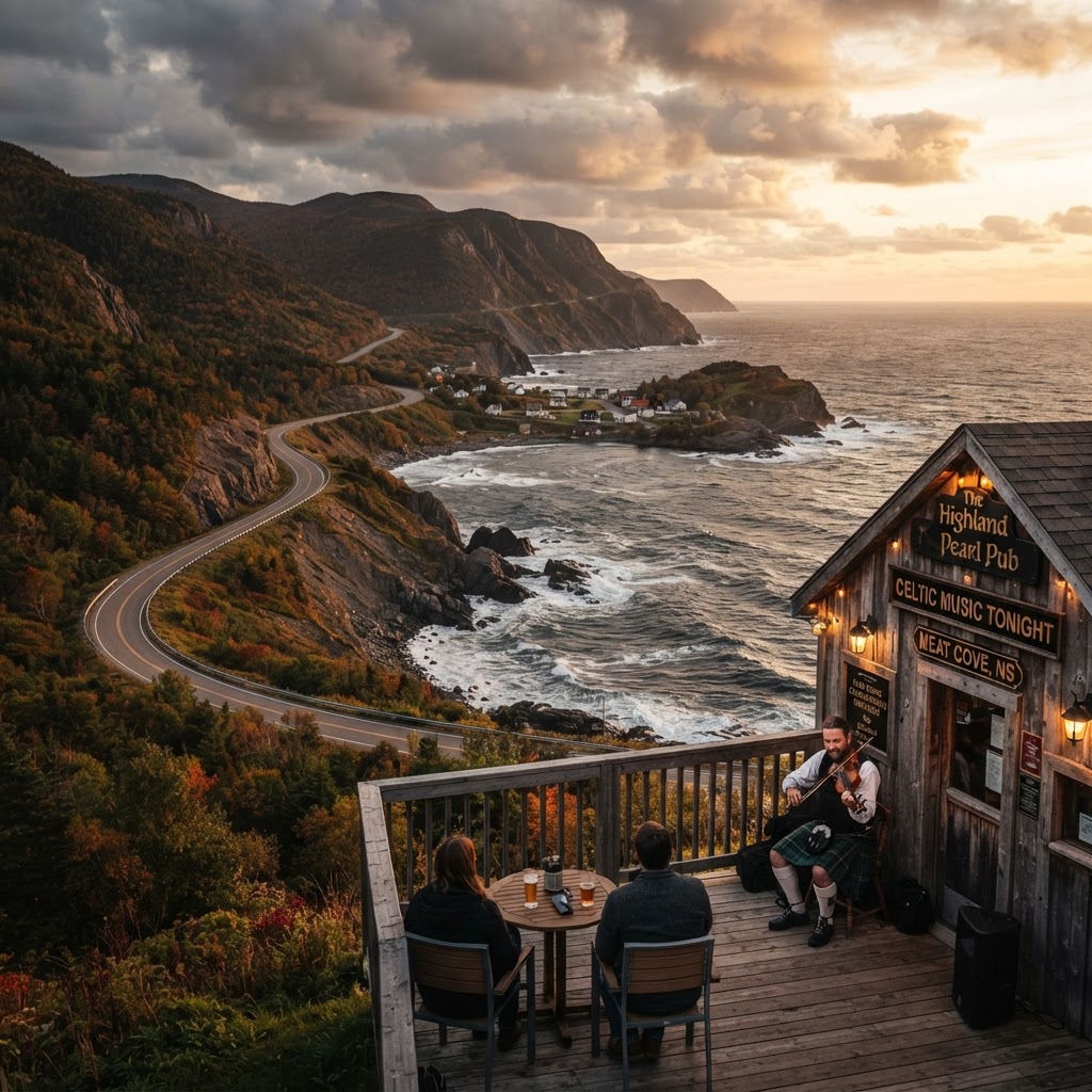
Sea-sculpted highlands, living Celtic fiddling traditions, and wild Atlantic drama.
Kelowna
Canada
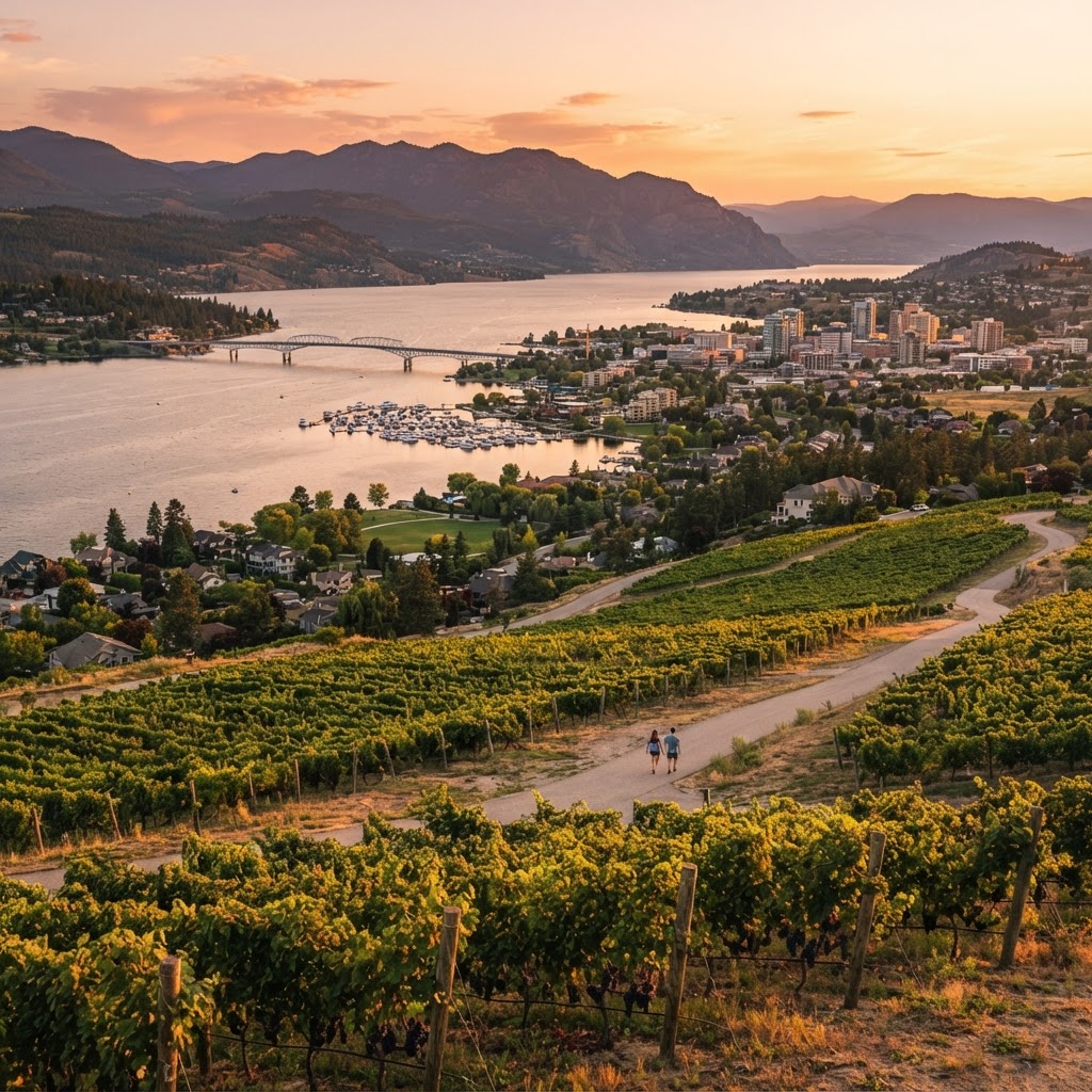
Sun-drenched vineyards, lakeside living, and pine-scented benchlands in British Columbia’s interior.
Whitehorse
Canada
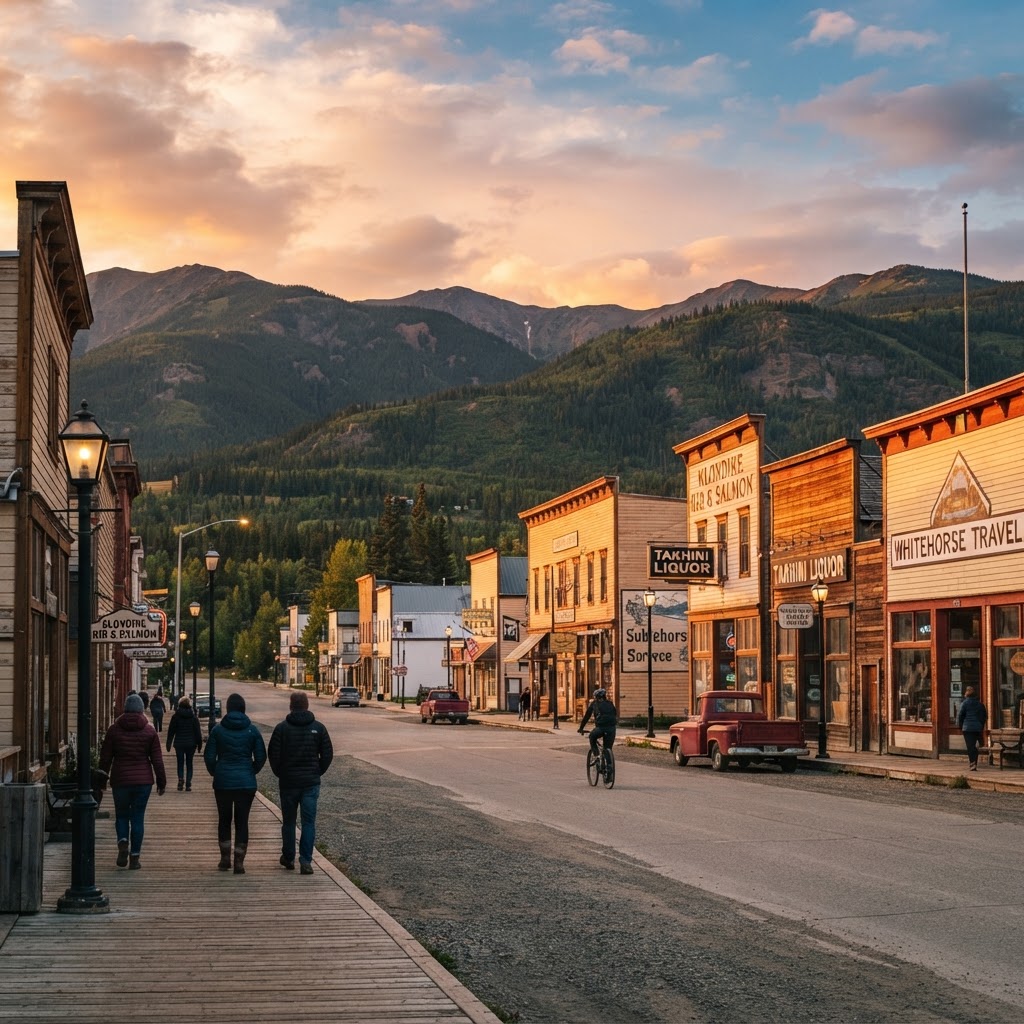
The subarctic wilderness capital where boreal trails meet gold rush frontier culture
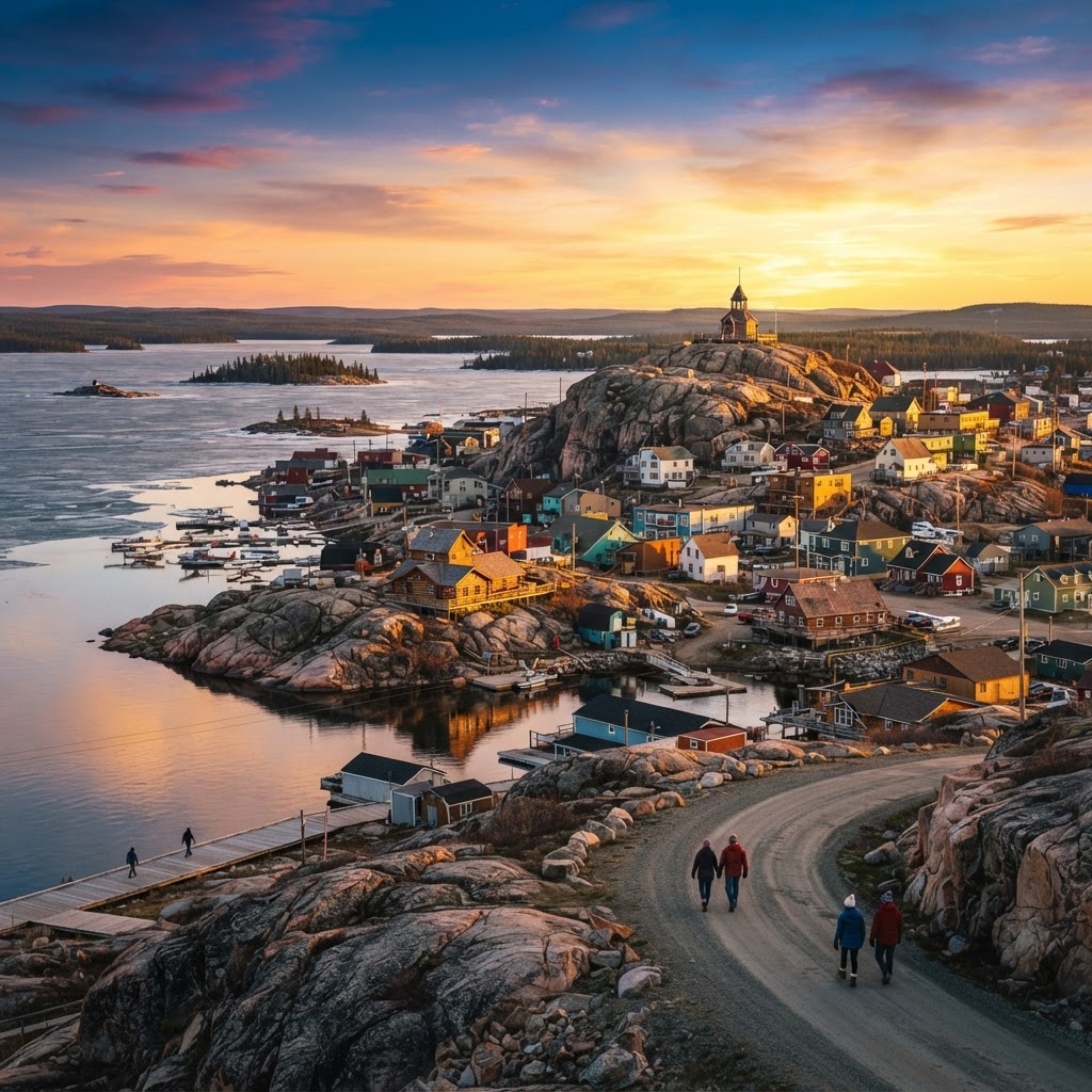
Yellowknife, Northwest Territories, Canada
Canada
The subarctic aurora capital perched on the ancient Canadian Shield.
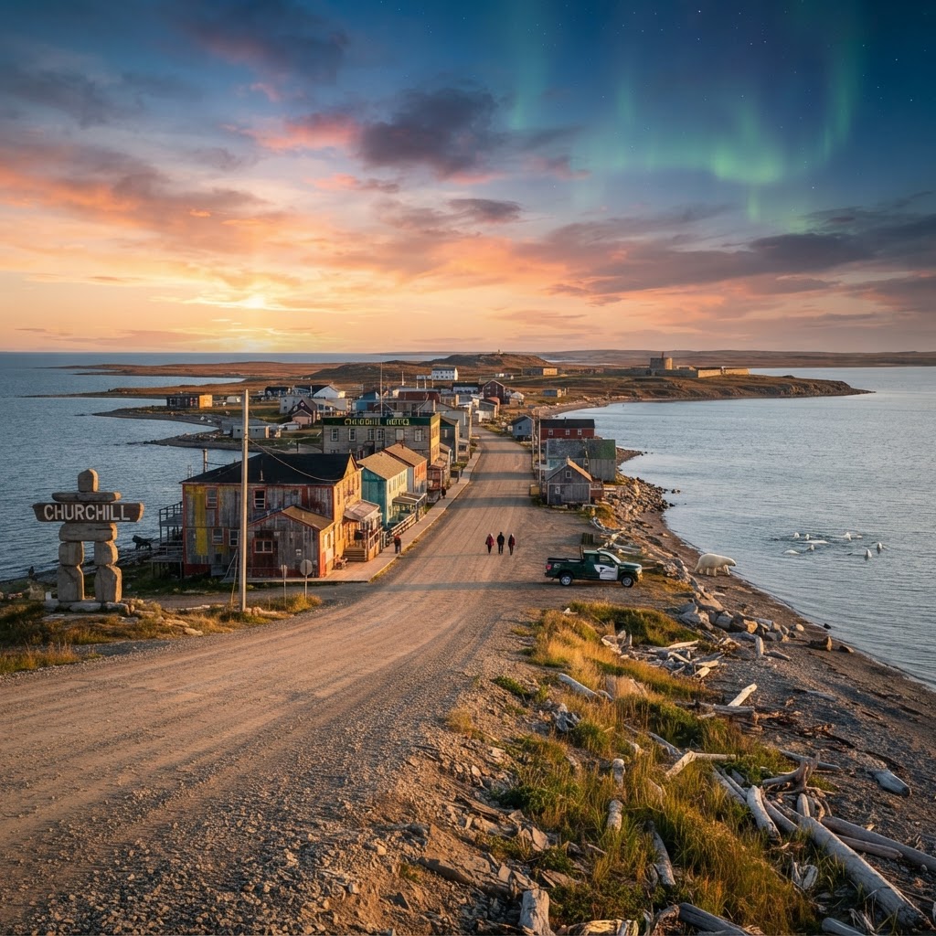
Churchill, Manitoba
Canada
The subarctic frontier for wild polar bears, estuary belugas, and uninterrupted auroras.
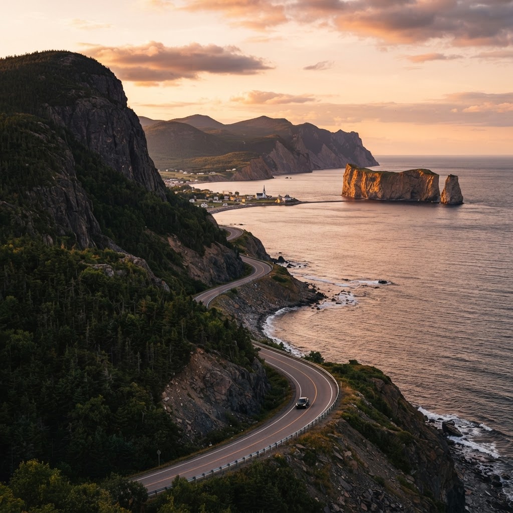
Gaspé Peninsula (Gaspésie), Quebec
Canada
End-of-the-world sea cliffs, ancient Appalachian spines, and winding coastal highways.
Readymade itineraries
Start from a tested template — then make it yours.
Ready to book
Lock in your Tofino & Pacific Rim, British Columbia trip
Everything in one place. We may earn a small commission — it never costs you more.
Plan a trip to Tofino & Pacific Rim, British Columbia
Pick a length and we'll build a day-by-day plan around how you travel — neighborhoods clustered, budget-aware, and editable.
Get better at planning trips like this
Occasional notes on planning smarter — no spam, unsubscribe anytime.
Plan a trip to Tofino & Pacific Rim, British Columbia
Turn this guide into a day-by-day plan built around your pace, your group, and your budget.
Build my Tofino & Pacific Rim, British Columbia trip