Switzerland
Lauterbrunnen, Switzerland
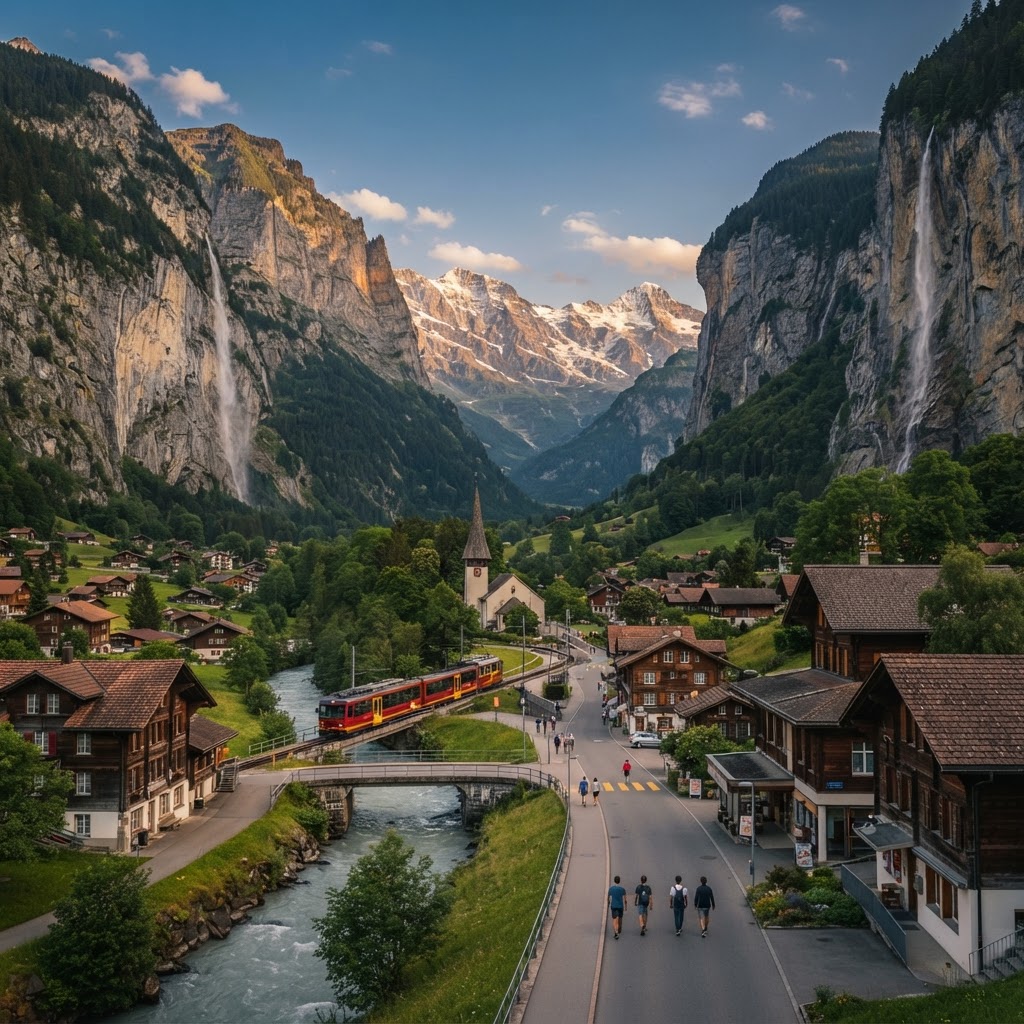
A sheer alpine valley of cascading glacial melt and transit gateways to higher peaks
Plan & book
Sort your Lauterbrunnen, Switzerland trip in one place.
We point you to the booking tools we'd actually use — live prices, no markup. Or let us build the day-by-day plan around you first, then book.
Lauterbrunnen sits on a deep glacial valley floor walled in by vertical limestone cliffs and punctuated by 72 waterfalls, most notably Staubbach Falls plunging nearly 300 meters right behind the village church. While worldwide recognition has turned the central Dorfstrasse into an afternoon transit corridor of selfie sticks and tour coaches, the town functions exceptionally well as the operational nerve center of the Jungfrau Region. It connects lowland railways with cliff-perched cable cars to Mürren and cogwheels up to Wengen and the Jungfraujoch. Staying here sacrifices the open horizons and golden hour sunsets of the car-free clifftop villages above, but grants unmatched logistical efficiency for multi-pass hikers, mountain bikers, and active mountain travelers.
4 days
Best time
Mid-June to late September for full high-trail access, or late May for thunderous glacial waterfall runoffs.
Build your own trip with these prebuilt itineraries
Each one is a tested, day-by-day plan for Lauterbrunnen, Switzerland — start here, then make it yours.
5 Days in Lauterbrunnen: Car-Free Family & Scenic Pace in Lauterbrunnen
Slow-paced scenic journey for families and leisure travelers using the valley floor and panoramic mountain trains
4 Days in Lauterbrunnen: The Comprehensive Alpine Hiker in Lauterbrunnen
Deep hiking exploration utilizing the regional rail and cable network across high ridges and deep falls
2 Days in Lauterbrunnen: The Express Valley & Cliffside Highlights in Lauterbrunnen
First-time alpine sampler focused on iconic waterfalls and high-cliff lookouts via Mürren and Wengen
Go for the sheer vertical drama of being framed by thousand-foot cliffs and roar-of-the-waterfalls geography right at your doorstep, combined with the most frictionless transport connections in the Swiss Alps. From Lauterbrunnen station, cogwheel trains, PostBuses, and aerial cable cars leave on synchronized 15- to 30-minute intervals to access every sector of the Bernese Oberland without wasting daylight in regional transit hubs.
Where to stay
Getting there
Getting around
Food & drink
What it costs
Skip it if
Skip it if you crave vibrant evening restaurant scenes, shopping, or lively nightlife—Lauterbrunnen shuts down firmly by 9:00 PM. Also skip staying in the valley floor if your mental picture of an Alpine vacation involves watching sunsets over snowy horizons from your balcony; the vertical canyon walls swallow direct sunlight early in the afternoon.
When to go
Summer opens the high-altitude ridgelines like the Eiger Trail and Mürren Mountain View, but crowds on Dorfstrasse peak; late September offers golden larches and crisp, stable hiking weather with significantly fewer tour groups.
Peak (July–August & mid-December–February)
Trails and mountain lifts are fully operational, but village streets swell with day-trippers from 10:00 to 16:00, and valley parking fills early.
Shoulder (May–June & September–mid-October)
Late spring brings maximum volume to the 72 waterfalls from snowmelt; autumn brings stable weather and larch color, though higher trails can see early snow in October.
Low (mid-October–November & April)
A quiet inter-season maintenance pause; many cable cars, cogwheel links, hotels, and valley restaurants shut down completely.
Neighborhoods
Where you stay shapes the trip. Here's how to think about it.
Dorfstrasse & Bahnhof Area
Bustling transit junction lined with gear shops, bakeries, and day-tripper foot traffic under vertical cliffs.
Best for:Logistics-first travelers, early-morning hikers, and visitors arriving with heavy luggage via rail
Don't miss:Catching the early 07:00 cogwheel train to Kleine Scheidegg before tour buses arrive from Interlaken.
Staubbach & Church Quarter
Classic postcard alpine village, quiet in the early mornings with church chimes echoing against the rock wall.
Best for:First-timers, photographers, and travelers wanting proximity to the base of the waterfall
Don't miss:The short, steep path carved into the cliffside leading directly behind the Staubbach Falls spray.
Weisse Lütschine Valley Floor
Pastoral, open meadowland alongside the roaring glacial river, dominated by dairy farms and camper vans.
Best for:Families, camper travelers, and cyclists who prefer flat terrain and open evening space away from the main drag
Don't miss:The quiet walking and biking lane south toward Stechelberg at twilight when the canyon falls into shadow.
Stechelberg
End-of-the-road rural outpost surrounded by raw rock faces, paraglider landing fields, and deep forest.
Best for:Backpackers, quiet seekers, and hikers staging climbs up to the Schilthorn or Obersteinberg
Don't miss:Watching wingsuiters and paragliders touch down by the Schilthornbahn cable car base terminal.
Destination intelligence
Updated 9/14/2026The structured record we plan every Lauterbrunnen, Switzerland itinerary from.
Walkability
Excellent along the flat valley basin between Lauterbrunnen and Stechelberg; steep elevation immediately outside the canyon floor requires cable cars or mountain trains.
Transit quality
World-class; precision coordination between SBB, BOB, regional mountain cogwheels, aerial lifts, and PostBuses.
Car needed
Not required and strongly discouraged; vehicle traffic terminates at Stechelberg and cannot access surrounding clifftop villages.
Ideal duration
4 days
Minimum useful
2 days
Peak season
Mid-June through August (lush hiking, open high passes, peak valley crowds) and mid-December through February (winter sports bases).
Shoulder season
September to mid-October (superb stable autumn hiking weather and thinning crowds) and May to early June (roaring waterfall flow from snowmelt, though high trails remain snowy).
Low season
Mid-October through late November and April (inter-season pause with lift maintenance, closed hotels, and damp weather).
Best for
Common mistakes
- Renting a car to drive up into Mürren or Wengen, which are completely car-free and inaccessible by road
- Sitting in the incorrect carriage at Interlaken Ost, resulting in accidental rerouting to Grindelwald when the train divides at Zweilütschinen
- Spending entire sunny mornings waiting around the valley floor instead of taking the earliest lift above the cliffline shadows
- Visiting in late October or November when major mountain lift infrastructure closes for annual maintenance and valley shadows bring cold dampness
- Purchasing point-to-point tickets for mountain cable cars without calculating the break-even math on a Swiss Half Fare Card or Regional Pass Bernese Oberland
Best nearby
How to plan it
- Dedicate one full morning to walking the flat 5-kilometer path south from Lauterbrunnen village to Stechelberg, then ride the PostBus back.
- Do not book high-elevation tickets (like Jungfraujoch or Schilthorn) weeks in advance; check live summit webcams in the morning to confirm cloud clearance before paying premium fares.
- Pair your visit to Trümmelbach Falls with a continuation up the Schilthornbahn lift to Gimmelwald for a craft beer on the Pension Gimmelwald terrace.
- If hiking the Männlichen to Kleine Scheidegg trail, take the first morning cogwheel up to beat the large guided walking groups that arrive by 10:30.
- Store heavy luggage at the Lauterbrunnen SBB station lockers if you are day-tripping between Interlaken and the car-free mountain villages above.
Questions
More in Switzerland
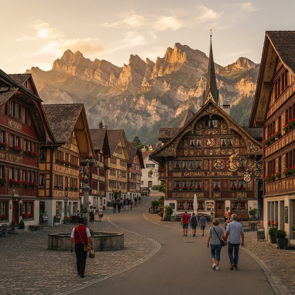
Appenzell
Switzerland
Carved timber facades, fierce traditions, and dramatic Alpstein limestone ridges.
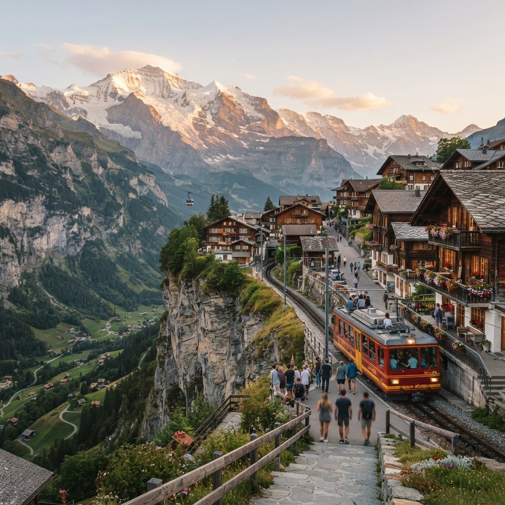
Jungfrau Region, Switzerland
Switzerland
Car-free cliffside villages, vertical alpine walls, and clockwork mountain railways.

Lugano
Switzerland
Lombard warmth meets Swiss punctuality across a glacial lake framed by sub-Alpine peaks.
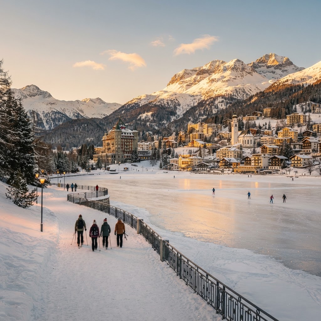
St. Moritz
Switzerland
High-altitude Engadine alpine elegance, world-class winter sports, and sparkling lakeside trails
Readymade itineraries
Start from a tested template — then make it yours.
Ready to book
Lock in your Lauterbrunnen, Switzerland trip
Everything in one place. We may earn a small commission — it never costs you more.
Plan a trip to Lauterbrunnen, Switzerland
Pick a length and we'll build a day-by-day plan around how you travel — neighborhoods clustered, budget-aware, and editable.
Get better at planning trips like this
Occasional notes on planning smarter — no spam, unsubscribe anytime.
Plan a trip to Lauterbrunnen, Switzerland
Turn this guide into a day-by-day plan built around your pace, your group, and your budget.
Build my Lauterbrunnen, Switzerland trip