
United States
Moab, Utah
Red rock wilderness gateway flanked by two national parks and the Colorado River
Plan & book
Sort your Moab, Utah trip in one place.
We point you to the booking tools we'd actually use — live prices, no markup. Or let us build the day-by-day plan around you first, then book.
Moab sits pinned between the sheer canyon rims of the Colorado River and the soaring peaks of the La Sal Mountains. As the basecamp for Arches National Park, Canyonlands National Park, and Dead Horse Point State Park, it serves as the operational headquarters for desert hiking, slickrock mountain biking, and whitewater rafting.
4 days
Best time
Late April to mid-May or late September to mid-October for runnable trails and high-70s daylight.
Build your own trip with these prebuilt itineraries
Each one is a tested, day-by-day plan for Moab, Utah — start here, then make it yours.
5 Days in Moab in Moab
Rugged outdoor adventure featuring technical mountain biking, off-roading, and deep Needles district hiking
4 Days in Moab in Moab
Comprehensive national park trekking, Colorado River rafting, and backcountry slickrock trails
2 Days in Moab in Moab
Red rock highlights covering Arches icons, Dead Horse Point, and Island in the Sky
Moab offers immediate access to the world's highest density of natural sandstone arches, colossal canyon drop-offs, and technical red-rock trail systems. Unlike standard tourist towns that pad their appeal with manufactured attractions, Moab trades strictly in raw geology, dark skies, and self-propelled desert access within 10 to 45 minutes of a compact Main Street strip.
Where to stay
Getting there
Getting around
Food & drink
What it costs
Things to do
Book tours & tickets in Moab, UtahSkip it if
Skip Moab if you dislike driving, cannot tolerate direct desert sun and dry heat, or require high-end urban culture, luxury shopping, and polished museum districts. It is also not ideal for travelers seeking a purely walkable car-free escape.
When to go
Peak season demands booking hotels 4 to 6 months out and reserving Arches timed-entry passes, but it saves you from either triple-digit summer heat exhaustion or sub-freezing winter canyon winds.
Peak (April–May & September–October)
Crisp mornings give way to daytime highs of 70–85°F. Every outfitter runs full bore, but trailheads at Delicate Arch and Mesa Arch fill before 7:30 AM.
Shoulder (March & November)
Sharp 30°F dawn temperatures quickly warm to sunny 55–65°F hiking days. Minimal park gate delays and 30% lower hotel rates, though river water is icy.
Low (June–August & December–February)
Summer regularly exceeds 100°F, forcing all hiking to conclude by 10 AM; winter dips into single digits at night with quiet, dusting snow on sandstone.
Neighborhoods
Where you stay shapes the trip. Here's how to think about it.
Downtown Moab (Main Street Corridor)
Walkable outdoor-hub buzz filled with gear outfitters, espresso bars, food trucks, and microbreweries.
Best for:First-timers, dining walkers, and short-trip travelers
Don't miss:Picking up early breakfast tacos at Sweet Treats or a pint of Rocket Bike Lager at Moab Brewery after your hike.
North Moab / Colorado River Portal
Sprawling adventure-base enclave hugging Highway 191 right at the river bridge and park crossroads.
Best for:Park chasers maximizing trail time and river rafters
Don't miss:Direct morning access via Highway 191 directly into Arches without navigating downtown bottleneck traffic.
Highway 128 Scenic Corridor (River Road)
Secluded, upscale red-rock sanctuary flanking vertical canyon walls and the Colorado River.
Best for:Luxury travelers, dark-sky stargazers, and quiet retreats
Don't miss:Dinner on the patio overlooking towering sandstone buttresses at Sorrel River Ranch.
Spanish Valley
Quiet, residential desert sprawl stretching south toward the base of the La Sal Mountains.
Best for:Families needing condos/vacation rentals and budget-conscious road-trippers
Don't miss:Tasting local petite sirah against red-rock mesa backdrops at Spanish Valley Vineyards & Winery.
Destination intelligence
Updated 9/14/2026The structured record we plan every Moab, Utah itinerary from.
Walkability
Low. Downtown Main Street has walkable sidewalks for local dining and shops, but all scenic viewpoints, trailheads, and parks require motorized transport.
Transit quality
Very Low. There is no municipal transit network or park shuttle service connecting downtown Moab to Arches or Canyonlands.
Car needed
Yes. Essential for accessing trailheads, national park scenic drives, state parks, and river put-ins.
Ideal duration
4 days
Minimum useful
2 days
Peak season
April through May and September through October, marked by daytime highs in the 70s-80s°F, active outdoor outfitters, and full parking lots at popular arches.
Shoulder season
March and November, featuring crisp daytime hiking weather, cool nights, minimal trail traffic, and lower lodging rates.
Low season
December through February (freezing night temperatures, occasional snow dusting, limited restaurant hours) and July through August (relentless 100°F+ desert heat).
Best for
Common mistakes
- Visiting in July or August without anticipating triple-digit desert heat and midday trail closures
- Failing to reserve timed-entry vehicle permits for Arches National Park during peak spring-to-autumn months
- Underestimating hydration needs by carrying less than one gallon of water per person per day on exposed slickrock
- Trying to combine Canyonlands Island in the Sky and The Needles district on the same day despite a 2-hour driving gap
- Busting cryptobiotic soil crusts by walking or parking off designated trail markers
Best nearby
How to plan it
- Stay on Main Street if you prioritize walking to dinners and coffee shops without hunting for downtown parking; stay along Highway 128 if your priority is quiet canyon scenery.
- Pair your trip with Capitol Reef National Park (2.5 hours west) or Monument Valley (2.5 hours south) rather than trying to cross the state to Zion in a single weekend.
- Do not attempt the Fiery Furnace trail or backcountry Canyonlands drives without reserving permits weeks in advance or booking a licensed local ranger/guide.
- Hike Delicate Arch for sunset, but arrive at the Wolfe Ranch trailhead by 5:00 PM to secure parking and complete the uphill slickrock slog before dark; bring a reliable headlamp for the return descent.
- Keep Canyonlands Island in the Sky and Dead Horse Point State Park paired on the same calendar day—they share Utah Highway 313 and sit 40 minutes northwest of town.
Questions
More in United States
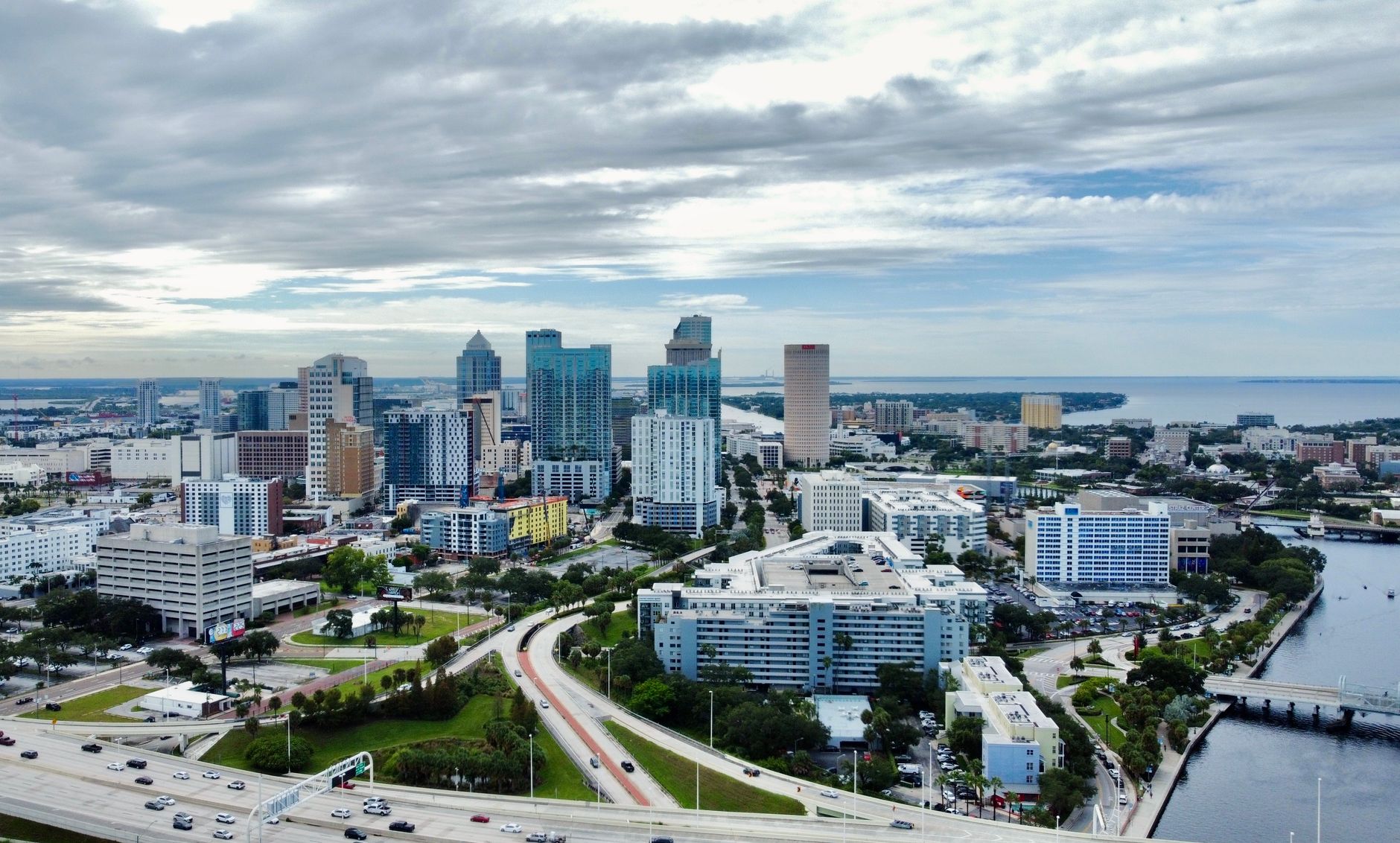
Tampa, Florida
United States
A historic cigar-making heritage wrapped in polished waterfront revivals and Gulf Coast culinary ambition.
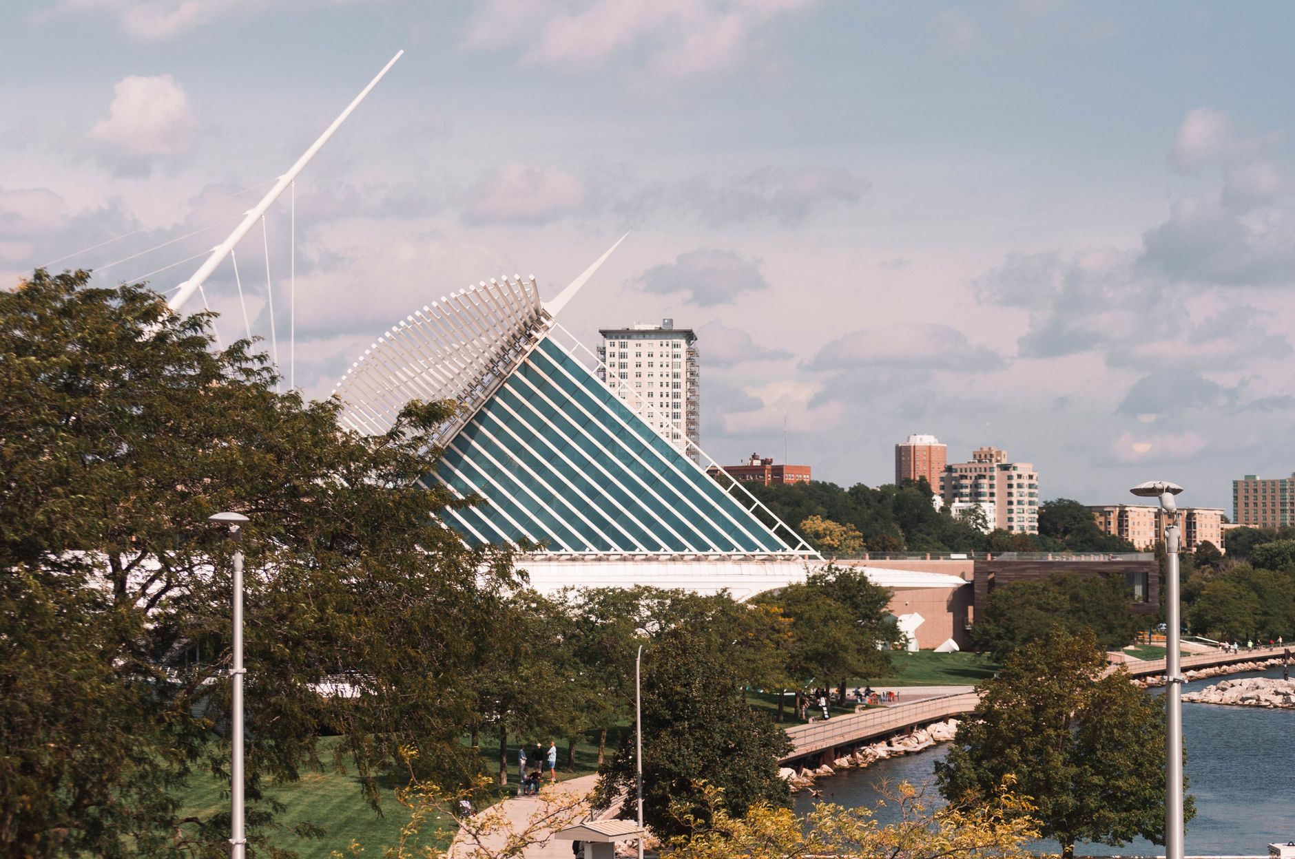
Milwaukee, Wisconsin
United States
Industrial lakeside cool anchored by serious culinary chops and effortless urban grit.
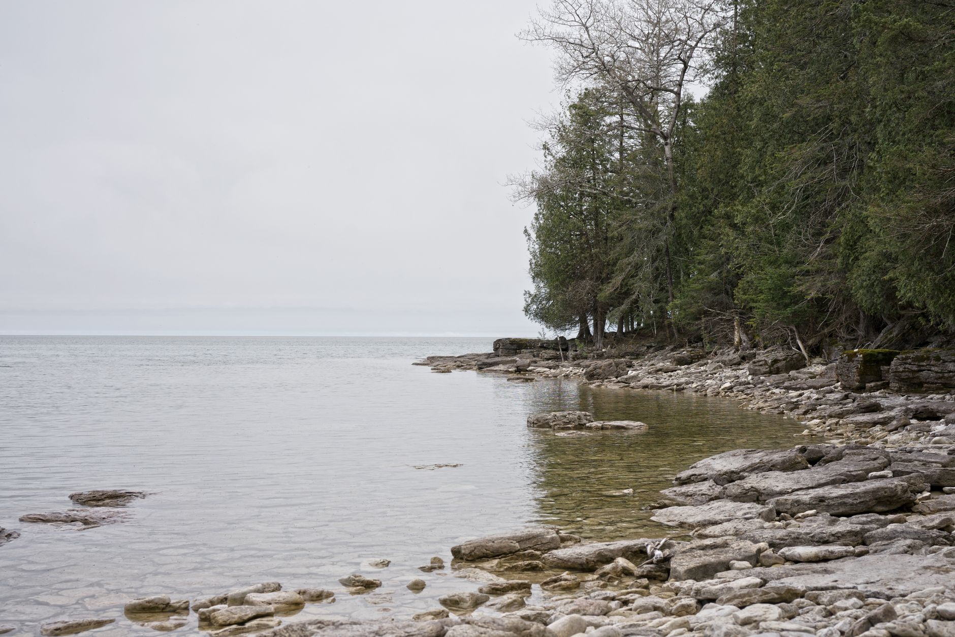
Door County, Wisconsin
United States
Limestone bluffs, heritage cherry orchards, and lakefront villages on Lake Michigan.

Traverse City, Michigan
United States
Freshwater bays, cool-climate vineyards, and windswept dunes anchored by a farm-driven culinary hub.
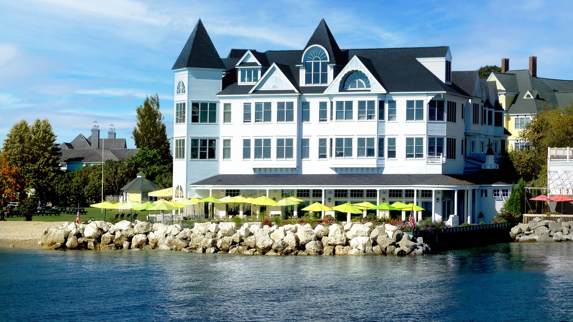
Mackinac Island, Michigan
United States
Car-free Victorian bluffs, freshwater coastlines, and horse-drawn transport

Baltimore, Maryland
United States
Industrial maritime roots, blue-collar grit, and distinct neighborhood enclaves.
Readymade itineraries
Start from a tested template — then make it yours.
Ready to book
Lock in your Moab, Utah trip
Everything in one place. We may earn a small commission — it never costs you more.
Plan a trip to Moab, Utah
Pick a length and we'll build a day-by-day plan around how you travel — neighborhoods clustered, budget-aware, and editable.
Get better at planning trips like this
Occasional notes on planning smarter — no spam, unsubscribe anytime.
Plan a trip to Moab, Utah
Turn this guide into a day-by-day plan built around your pace, your group, and your budget.
Build my Moab, Utah trip